
Flightpath 3D improves map resolution and adds features
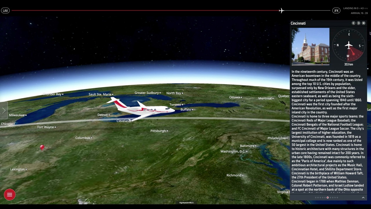
Historic Cincinnati is among the 50,000 points of interest in the Flightpath 3D geotainment package
An improved moving map product with higher-resolution capability, more destination information and additional passengers data analytics are part of the improvements that Flightpath 3D planned to bring to this year’s Aircraft Interiors Expo in Hamburg.
With the 2020 Expo cancelled, the Lake Forest, California-based supplier of moving maps to more than 60 airlines was talking with potential and existing customers and showing a video of new features, the first of which was a capability of native 4K satellite imagery in line with airlines' move toward higher resolution screens in their IFE hardware.
With the improvements, Flightpath 3D has native UHD resolution capability of 3840 X 2180p and provides optimum sharpness in the moving map and the window and cockpit views.
The next improvement is in the system’s “geotainment” operations. The company has added the Flying over Places feature that allow passengers to stay informed of the destinations below them and with information and descriptions on 50,000 points of interest, including cities and landmarks that can be accessed on the Flightpath screen.
The final improvement are capabilities for the airline to predict future route demand and departure data via the backend dashboard. As a passenger scrolls through the destination, learning more about city pairs in the airline’s route structure the information is captured and collected and can be used to support marketing activties, generate ticket sales and ancillary revenue.
